


What We Do
We Make Building Smarter. Safer.
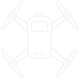
At Horizon Homesteads, we specialize in drone-powered land mapping and homestead planning for rural property owners, off-grid dreamers, and first-time land buyers.
Trusted Precision
We use survey-grade RTK accuracy to capture data within 1–2 cm precision.
Family-Run Values
We combine real-world construction experience with cutting-edge aerial tech.
Local Expertise
Based in the WV mountains — we know the terrain, the seasons, and your needs.
See How It All Began.


Why Us
Ever Dreamed Of Building Your Perfect Homestead — But Unsure Where To Start?
At Horizon Homesteads, we use modern aerial drone mapping to help you plan exactly where to build, garden, and live — all before you break ground.
Unlike traditional ground zoning, our drones see the full picture from above:
-
Find the flattest spots for your cabin, barn, or home
-
Identify flood zones, drainage paths, and shaded vs. sunny areas
-
Get topography maps, 3D terrain models, and land layout blueprints
And don’t worry — you don’t need to be tech-savvy. We do all the work and walk you through everything in simple terms, step by step.
Why Choose Us
We Help You Design It Right From The Sky Down

Fast Solutions
We offer fast-tracked zoning insights. No guesswork. No delays.

Customized Planning
Our custom drone reports are built around your land, your goals, and your future.

Expert Team
We're not just drone hobbyists - We are FAA Part 107 Certified Remote Pilots.
Testimonials
What Our Clients Say About Us


Contact Us


